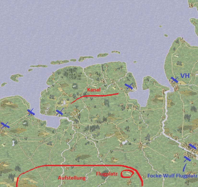
I was mentioning a fictional campaign i have in my head and when i was looking at the (soon new) big Friesland map. Looking at the map i feel even more encouraged to design the campaign.
Patrick and me will add Friesland to the existing "D-Day" campaign this thread is about and once the map is finished i could use it for the fictional campaign too.
I have 4 big (3150x3000 pixel) german maps in mind: Berlin (1475), Harz (1055), Ostfriesland and Ruhrgebiet. I had started a big map of the Ruhrgebiet 1 or 1.5 years ago, but got stuck in the middle. Surely i want to finish it in the future. Then i can also update the Ruhrgebiet scenario from the "D-Day..." campaign with the new map.
The path of the "What if" campaign would be something like this: Dunkirk evacuation, Repel Sealion, Normandy 1941, 4 german maps, then UK versus USSR. All maps would be big of course


